
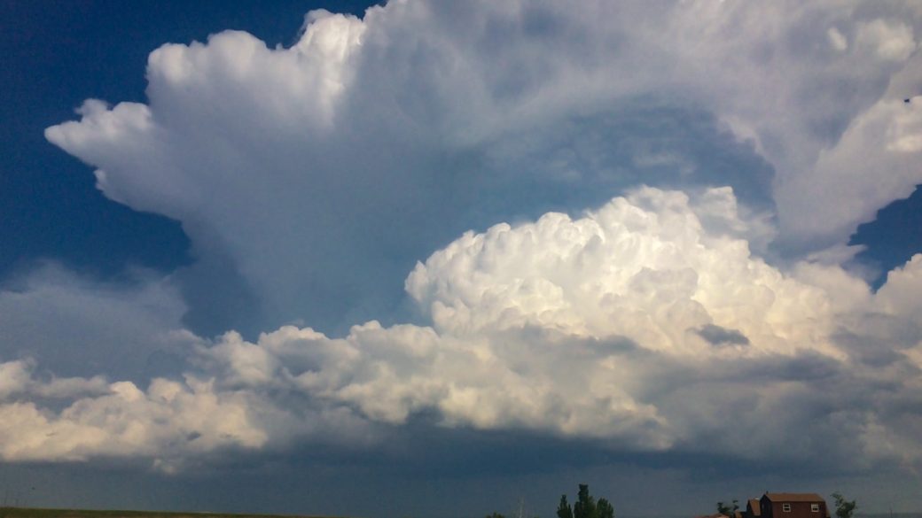
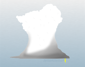
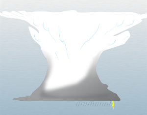
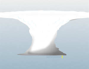
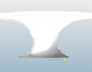
Description & Characteristics. Cumulonimbus clouds are responsible for stormy weather. If you’re looking up at a cloud that’s causing rainy and windy conditions, creating hail, thunder, and lightning, you’re in close proximation of a cumulonimbus cloud.
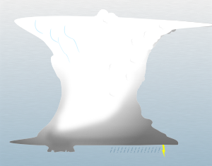
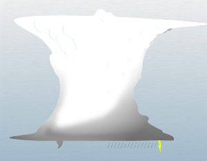
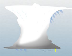
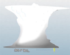
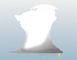
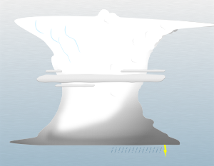
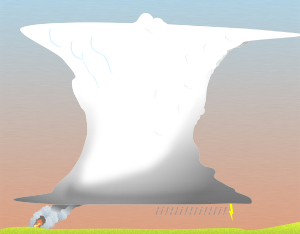
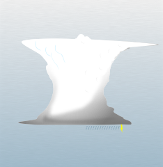
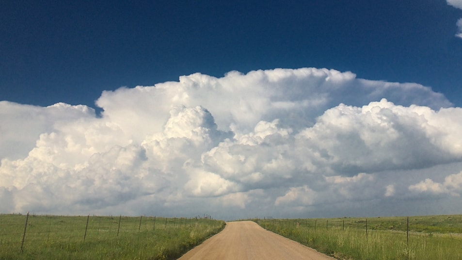
If you’re observing this cloud from a distance, what will stand out most is the cloud’s impressive height. The cumulonimbus cloud is the only cloud that extends through all three cloud levels. Its base can be very low to the ground, and its top can extend to the highest layer of the troposphere. The top of the cloud might take on a bald appearance (calvus cloud species), or it can take on a hairy and fibrous upper portion (capillatus cloud species).
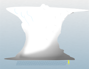
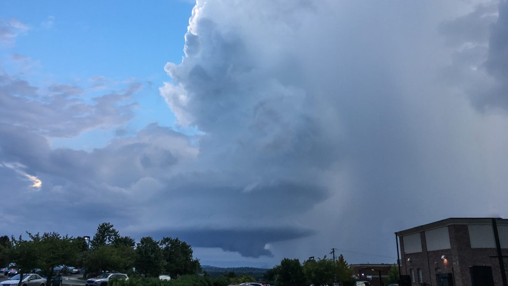
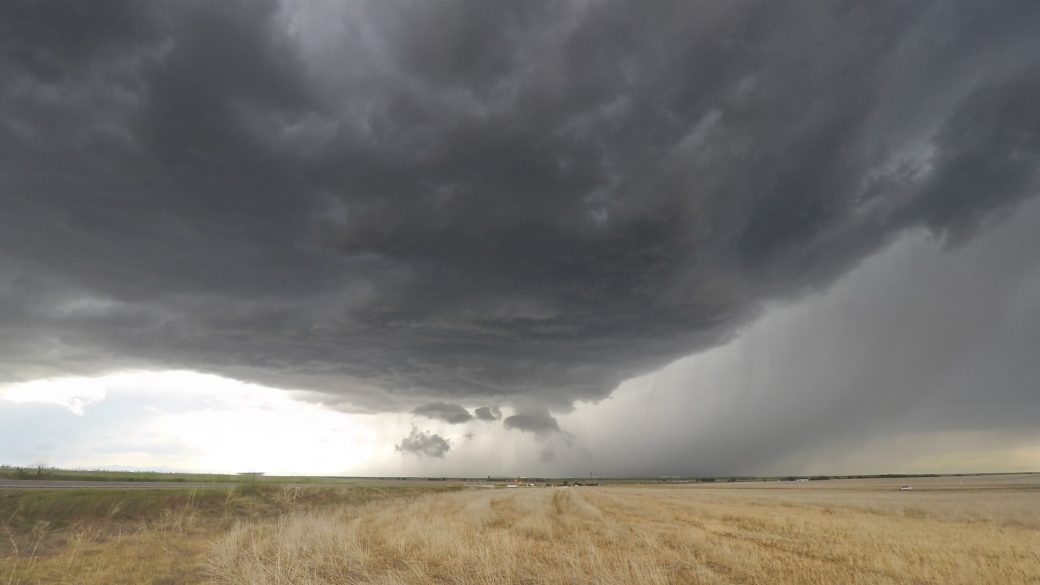
The more potent cumulonimbus clouds can create a handful of cloud features. Above the main cloud, an anvil cloud (incus cloud feature) can form, where the cloud hits the top of the troposphere and spreads out across the sky. Additionally, you might find the most dramatic examples of mammatus clouds (mamma cloud feature) in the upper portion of a cumulonimbus, caused by pockets of sinking air.
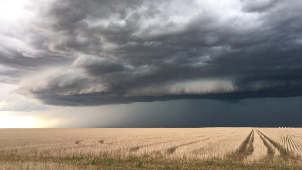
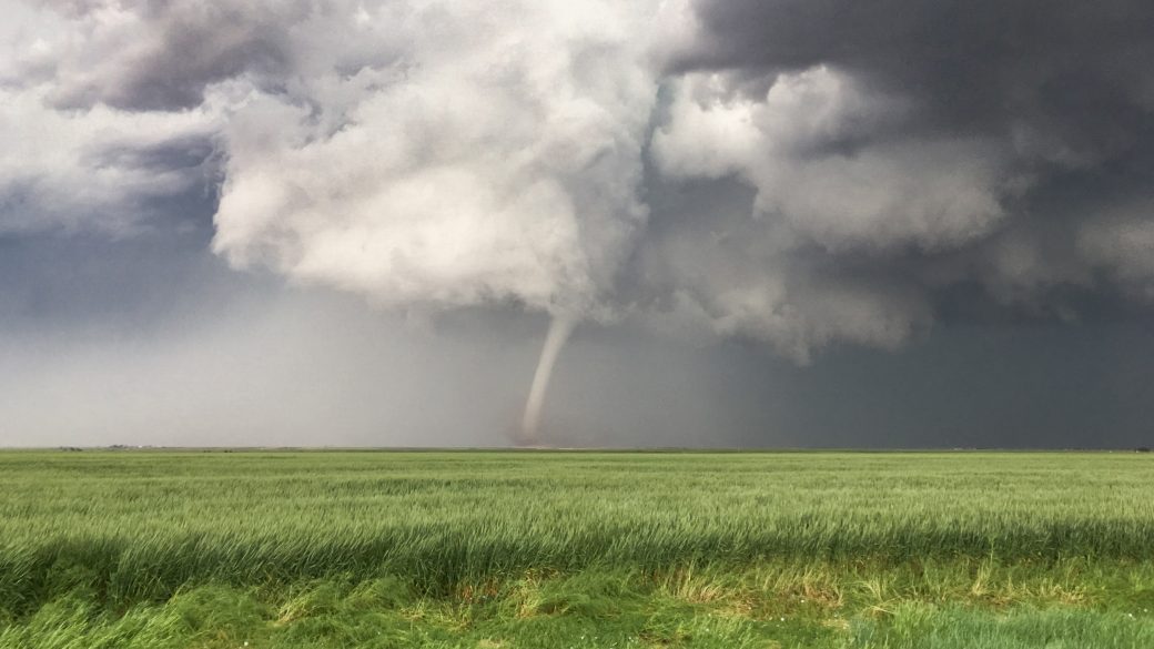
Closer to the ground, cumulonimbus clouds are also responsible for shelf clouds (arcus cloud feature), wall clouds (murus cloud feature), tail clouds attached to the wall cloud (cauda cloud feature), a beaver tail cloud that acts like a river of moisture feeding into the storm (flumen cloud accessory) and even funnel clouds (tuba cloud feature).


